More roundabouts. More parallel paths, one for cyclists, the other for pedestrians. More bicycle parking.
Realign three of the four Hutchison Drive ramps to and from Highway 113, to create a pair of right-angle intersections, with signals. Put a crosswalk and signals along La Rue Road, connecting campus and the Colleges at La Rue apartments.
These are some of the proposals in the Davis campus’s Bicycle and Transit Network Study, presented in draft form during a pair of public workshops last week.
“Generally, it seems people liked what they saw,” said Matt Dulcich, associate planner and study leader with the Office of Resource Management and Planning. “Their comments will help us fine-tune the study.”
The workshops came almost a year after campus planners launched the study with another set of workshops. At that time, Assistant Vice Chancellor Bob Segar and his team laid out a giant map of the campus on the floor of Freeborn Hall, and asked people to walk all over it to mark the transit trouble spots.
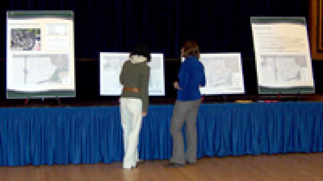
On Feb. 5, ORMP invited people to take a look at the draft study, to see how the campus intends to make the transit system better and safer. Instead of a giant map this time, planners presented a number of small maps, each showing different information, like roundabouts and separated paths.
And once again, planners invited people to write their comments on Post-it notes and stick them on the maps. For the most part, the comments added emphasis to the draft study’s conclusions.
Take bicycle parking, for example. The study calls for adding 2,500 spaces, to give the campus a total of 22,500. (Also, 5,000 spaces would be replaced by new, improved racks.) Some of the new spaces are proposed at the northwest and northeast corners of the new Aggie Stadium. One Post-it comment suggested 150 spaces, at least, at the stadium’s southwest corner.
Other people urged more bike parking at Freeborn Hall and the Memorial Union. A couple of people took on bollards, the posts that are used to keep motor vehicles off campus pathways.
Here is what that person wrote on a Post-it note: “Would it be possible to replace bollards with sufficient signage? During high traffic times, bollards can pose a danger to cyclists (swerving to miss them, you crash into the person next to you). Bollards seem like more danger than they’re worth.”
Wrote another person: “I’ve seen more bike-bollard accidents than bike-bike or bike-auto accidents.”
The draft study recommends a handful of new roundabouts in the central campus, in addition to the 11 that are already in place. The new traffic circles would include a bicycle-only roundabout on the path that runs along Russell Boulevard, with the circle to be located directly across from Sycamore Lane.
Two vehicle-bike roundabouts would be built on both sides of the California Avenue bridge over the arboretum waterway; one would be at California Avenue and Old Davis Road, the other at the junction of California Avenue and La Rue Road.
Bike circulation around the Activities and Recreation Center drew the most comments at the initial public workshops a year ago, and at the follow-up workshops last week, with people unconvinced of the proposed fix.
Dulcich acknowledged that the consultants need to give the ARC area more study. The volume of bicycle and pedestrian traffic there is the highest on campus, as people make their way to and from the ARC and the Segundo housing area and dining commons, and nearby off-campus housing.
Bicycle-pedestrian conflicts are common in front of the ARC, and bike-car conflicts are common in the ARC parking lot, as bicyclists go through the lot instead of maneuvering among pedestrians along the nearby paths.
The draft study recommends separated paths for pedestrians and cyclists along the south and west sides of the parking lot, and separate crosswalks for pedestrians and bicycles across the road that connects the parking lot and La Rue Road.
Perhaps the most ambitious proposal deals with the junction of Hutchison Drive and Highway 113, where motorists and bicyclists negotiate right of way at odd angles.
The northbound offramp from Highway 113, for example, puts drivers into a gentle curve, where they merge almost side by side with bikes and cars that may be coming east on Hutchison across the overpass. The eastbound cyclists and drivers can only hope the drivers exiting the highway are twisting their necks to make sure the road is clear as they move onto Hutchison.
The transit study proposes straightening the northbound offramp and onramp, and putting in signals where the new ramps connect with Hutchison. A similar set-up is planned on the west side of the overpass, where only the southbound onramp would need to be realigned.
A Post-it note comment described the Hutchison-Highway 113 junction as “very dangerous,” and added: “Fixing this should be extremely high priority.”
In fact, prioritizing the proposed bikeway and transit improvements is the next step in the study process. The study does not identify funding sources, but planners want to be prepared to move forward if and when funds become available. Not only that, but the completed study may also boost the campus’s efforts at obtaining construction funding.
COMMENTS
The draft study is available online: www.ormp.ucdavis.edu/btns.
Comments are being accepted through Feb. 19, and should be directed to Matt Dulcich at ORMP.
Office: 376 Mrak Hall
Fax: (530) 752-5808
E-mail: medulcich@ucdavis.edu
Media Resources
Clifton B. Parker, Dateline, (530) 752-1932, cparker@ucdavis.edu