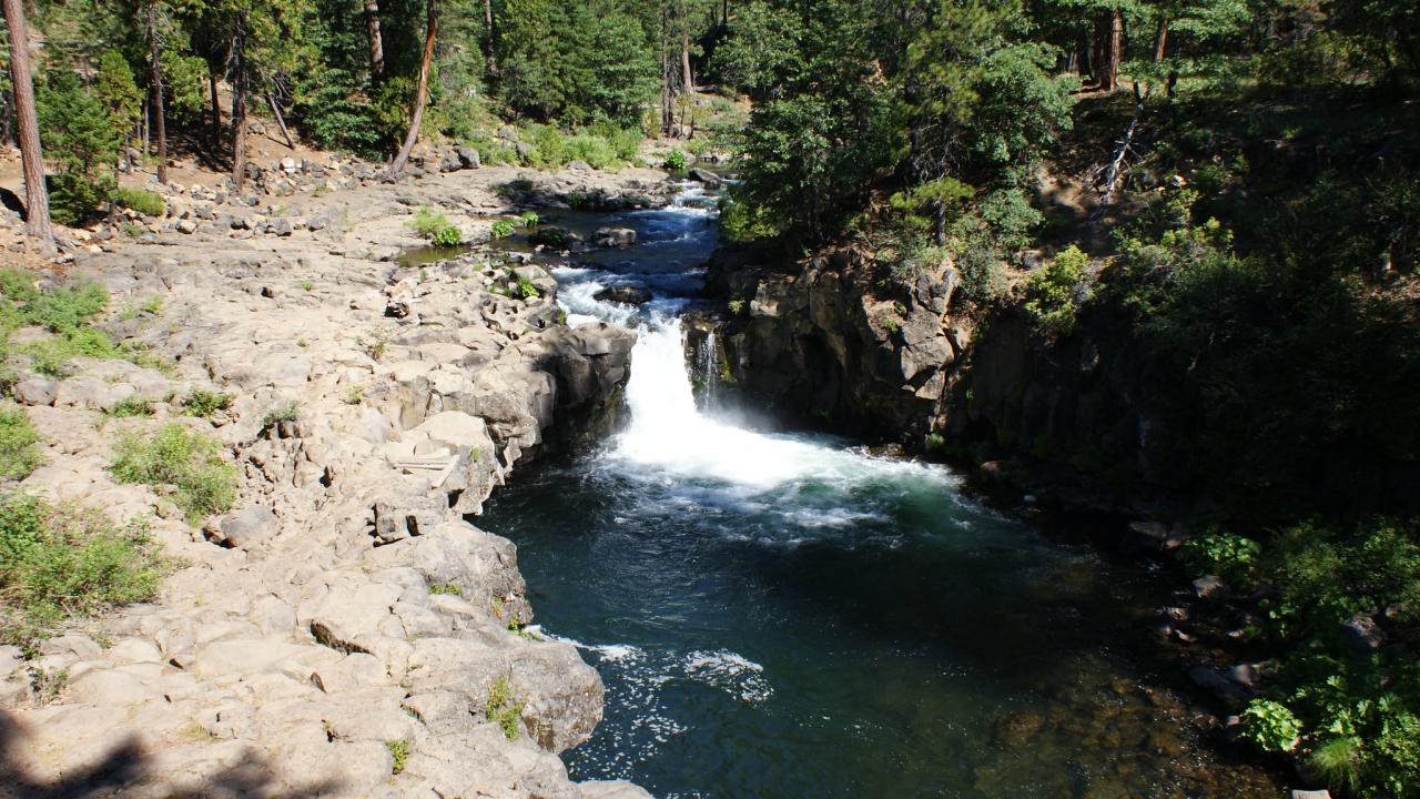
In California, treaties negotiated between Native nations and the federal government in the 1850s were not ratified, initially leaving the majority of Indigenous people in the new state without recognized land rights.
Tribal lands in California today include reservation or rancheria land affirmed by executive orders and congressional appropriations, as well as individual Indian allotment lands. These allotment lands were established on the so-called “public domain” in California following the 1887 Allotment Act. Allotments are up to 160-acre parcels held in trust by the Bureau of Indian Affairs on behalf of individual Indian allottees and their heirs or descendants. Throughout California, approximately 400 allotments cover over 16,000 acres.
A $1.6 million Climate Action Seed Grant is funding a project to survey the landscape and plan climate resilience projects on Indian allotment lands. The UC Davis-led project will utilize landscape surveys, climate modeling, and the expertise of allottees to understand what is on their land and how it has changed over the past 20 years. Finally, the project will provide allottees with support for navigating policies and fundraising for planning climate resilience projects on their land.
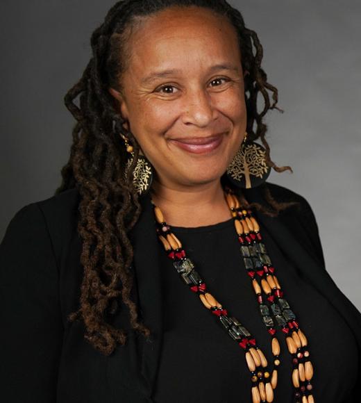
“We need to connect the dots and identify what needs to be done to support these culturally important landscapes’ survival in the face of climate change,” says Beth Rose Middleton Manning, professor in the Native American Studies Department at UC Davis.
The project aims to follow up allotment surveys done in the 1990s by the University of California and the Bureau of Indian Affairs. Those surveys mapped vegetation cover, species, topography, and water sources present on California allotments. By comparing current and past surveys, Middleton Manning hopes to evaluate the effects of climate change over time. She will then use climate and wildfire models to predict how allotment lands might be affected in the coming decades.
Once in each summer of the grant, the project will host two major conferences for allottees and project collaborators to gather together. There, allottees from across the state can learn how to secure funding and other resources to carry out climate resilience and stewardship projects on their land, such as cultural fire.
“California as a state has been increasingly focused on reckoning with the history of the theft of tribal lands and the oppression of California Native people,” says Middleton Manning. “This is a very applied project to work with California Native land managers to support them in ensuring that these lands are sites of resilience and survival into the future.”
This story is excerpted from "Climate Action research grants assist Tribal nations with resource management," an article from the University of California.
Media Resources
Kat Kerlin, UC Davis News and Media Relations, 530-750-9195, kekerlin@ucdavis.edu