The second floor of Wickson Hall is home to the most linked-to environmental Web site in the UC system -- the Information Center for the Environment.
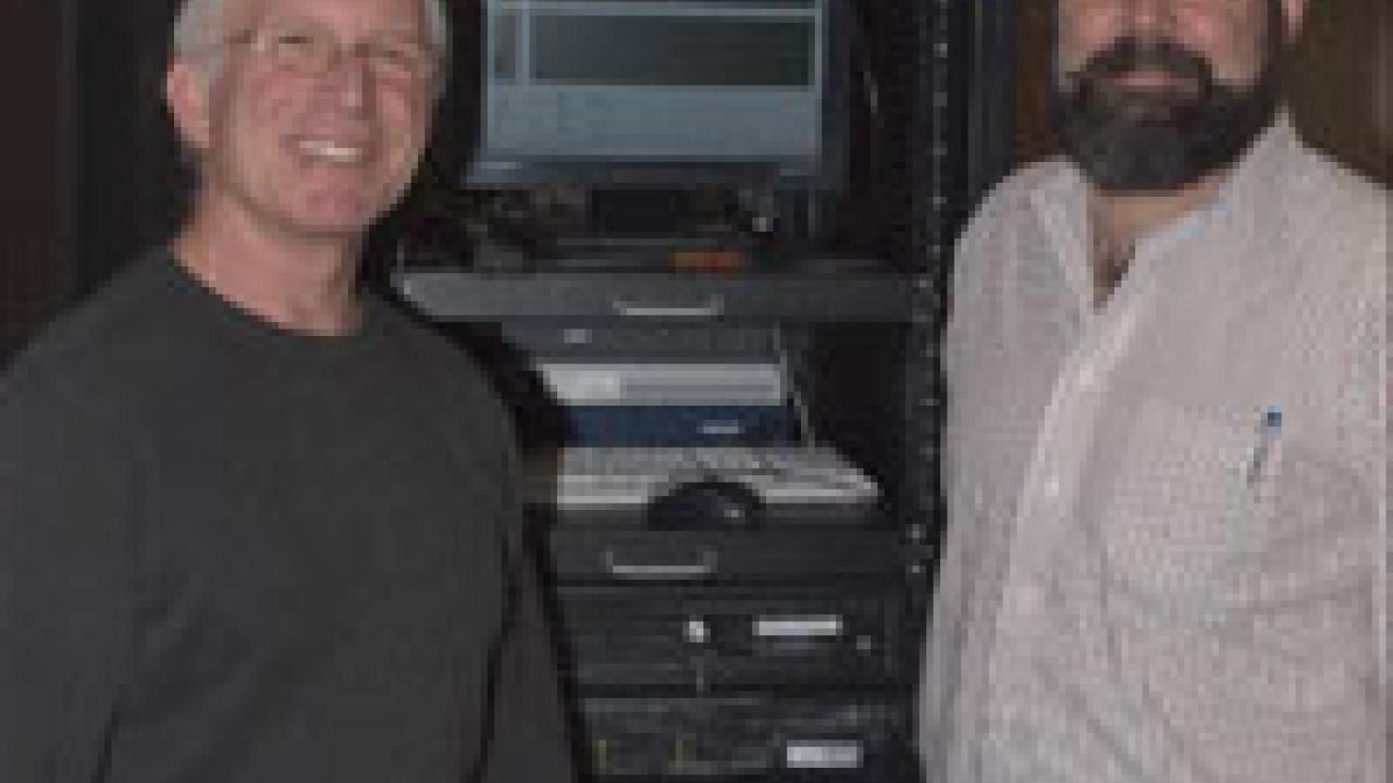
Here city planners, policy makers, research scientists and other Web surfers routinely retrieve volumes of graphic-rich information about California rivers and wetlands, the Sierra Nevada and North Coast, statewide land use designations, international species distributions and a growing repository of other online environmental knowledge. ICE is the brainchild of Environmental Sciences and Policy Professor Jim Quinn and ICE co-director Mike McCoy. In the last decade the pair have grown a program that employs 30 people and has earned the broad respect of researchers, analysts and politicians.
The California Legislature formally acknowledged the program's precedent-setting achievements this month with a resolution introduced by State Sen. Debra Bowen. The resolution commends ICE for "world-class analysis of California's resources and California's development patterns."
"We are honored by the recognition of our work by Sen. Bowen, who has been a champion of open access to public information, and her colleagues," Quinn said. "We share their view that free access to scientific information developed by the university is essential to more effective environmental policy, and are delighted with the interest shown among legislators and public agencies to apply our findings to protecting water, natural areas and biodiversity."
ICE began informally in 1992, the result of a rivers conference and the willingness of then-state Resources Secretary Douglas Wheeler to provide seed money for a statewide inventory of California rivers and streams. "Mike (McCoy) came to me and said, 'I have the project, if you have the lab,'" Quinn said.
The project grew into the California Rivers Assessment, a daunting undertaking that required McCoy's organizational and people skills as a land-use and natural-resource planning expert at University Extension. "It took us a year to organize 28 different governmental and nongovernmental agencies and an enormous technical advisory committee," he said.
Quinn had previously developed biodiversity databases for the United Nations and the U.S. National Park Service and was eager to chart new territory with emerging Geographic Information System (GIS) and Internet technology. "We were one of the first to use the World Wide Web on campus," Quinn said. "And we were the first ones anywhere to figure out how to put interactive GIS maps on the Web."
Growing the size, scope of the center
The California Rivers Assessment became a national model for aggregating and displaying large amounts of information and a springboard for the formal establishment of the center. The ICE Web site now logs more than 66,000 unique visitors a year, making it the most linked-to environmental Web site in the UC system, Quinn said. The staff of eight graduate students, two post-doctoral researchers and 20 staff employees craft GIS maps, mine the databases of various public agencies and non-governmental organizations, dissect public policy documents and conduct field research.
"This is a highly entrepreneurial lab," McCoy said. "We've generated every penny of the $30 million we've received during the last 10 years."
It was ICE staff who created a groundbreaking general-plan map of the entire state. Led by Environmental Science and Policy Professor Robert Johnston, they cut through the clutter of dozens of planning departments statewide. "There were 3,400 land-use patterns across 58 counties," Quinn said. "Bob needed to cut that to 13 to make things more manageable." So designations like "low-density auto mall" in Los Angeles County became simply "low-density commercial."
The general-plan GIS map allows computer users to select different layers of information -- land ownership patterns, vegetation, highways, bioregions, legislative districts and many other filters -- to create a virtual tapestry of the state. It has become immensely popular with municipal governments. "Tuesday is city council night," McCoy said. "Our servers get humming Tuesday afternoons as planners get ready for local meetings."
In computer parlance the general-plan repository feeds a predictive model that allows researchers to peer into the future and project various scenarios. For instance, if a proposed development is blocked in one area because it would destroy vernal pools, the model will predict where new houses and businesses will likely appear instead.
"We can run unconstrained scenarios that go beyond official local plans and show policy implications," McCoy said.
Goal is to aid in better decision-making
ICE projects are intended for important public decision making. They span a wide range of subject matter and locale but lean toward biodiversity and water issues. They must also involve spatial distribution of activities on the land. For instance, one new project under development will create a visual representation of UC Davis Ecology Professor Arthur Shapiro's 30 years worth of butterfly monitoring efforts that would provide planners with vital habitat knowledge.
A number of ICE projects reflect the global interests of the staff. One project is monitoring illegal killing of elephants, while another is investigating the conservation of the world's largest salmon in Mongolia. The center is also the California node of the National Biological Information Infrastructure, a nationwide gateway into high-quality biological databases.
Quinn and McCoy predict more exciting developments in environmental informatics and the related disciplines now revolutionizing resource management. "It's been gratifying to see some of our GIS and database methods, which were leading edge a decade ago, become part of the routine fabric of digital democracy," Quinn said. "We're now seeing advanced imaging, wireless information gathering and smart Web searching following the same pathway. This promises to become as thorough a part of how we solve environmental problems as medical and engineering schools have become part of advancing health care and technology industries."
Media Resources
John Stumbos, (530) 754-2261, jdstumbos@ucdavis.edu